KM2ME - GPS Location Converter for ARTC Track
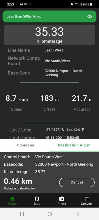
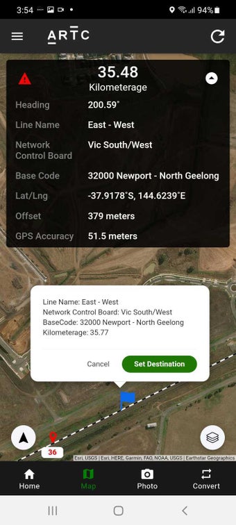
KM2ME is a free Android application that converts GPS location to display an approximate ARTC track location. Developed by Australian Rail Track Corporation Limited (ARTC), the app provides the Line Name, Section, and a kilometrage (km) position along the line rounded to the nearest 10 meters. However, it does not provide location values of adjacent rail networks.
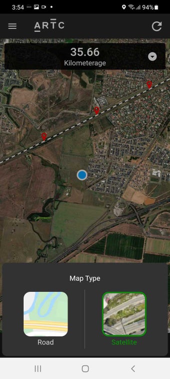
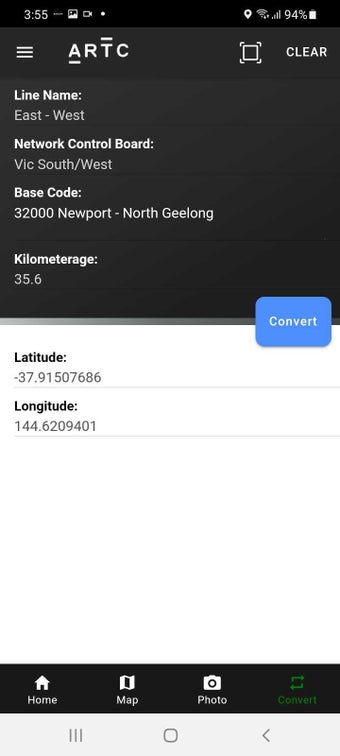
The app has a default track position range of 100m from the track centerline, but users can change it in their profiles. Additionally, KM2ME can take geotagged photos that are watermarked with track position and GPS coordinates. It can also convert chosen track positions to GPS coordinates or vice versa. The application is available with no warranties, and the information and data on it are subject to change without notice.